We strive to develop and support excellence in research and teaching in areas of advanced spatial analysis, spatial data handling, geographic information systems, global positioning systems, and remote sensing. We apply spatial models, procedures, and processes to address natural resource issues.
Our goal is to continue the tradition of making the laboratory a leader in the spatial sciences with a cutting edge computing facility. For the Department of Ecology and Conservation Biology, Texas A&M University and the State of Texas, we serve as an important node for interdisciplinary research, teaching, and community outreach.
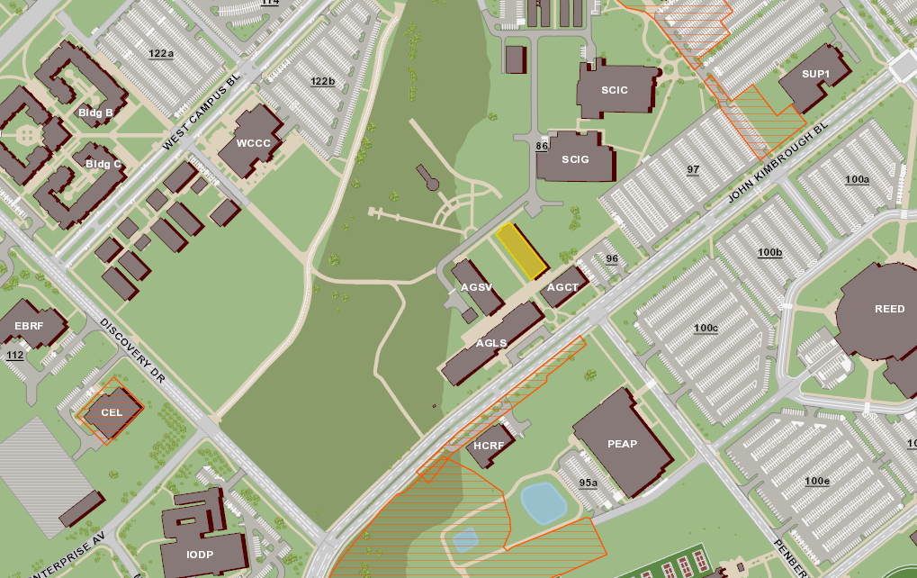
We're located in the Department of Ecology and Conservation Biology on the third floor of the Wildlife, Fisheries & Ecological Sciences Building.
Building #1537, Texas A&M University
Mail Stop 2258
534 John Kimbrough Blvd.
College Station, Texas 77843-2258